- English
Languages:
This site is created using Wikimapia data. Wikimapia is an open-content collaborative map project contributed by volunteers around the world. It contains information about 32719937 places and counting.
Learn more about Wikimapia and cityguides.
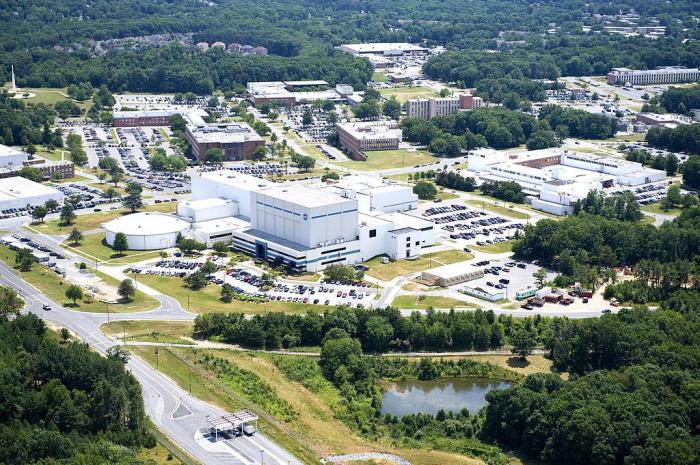
Greenbelt, Maryland
Greenbelt was the first "green town" built in 1936 from scratch as part of President Franklin Roosevelt's New Deal. The entire community was completely mapped on paper before any construction work ever began. Although many more green towns were ever planned, only two others were ever built.
Greenbelt is a unique and special community with many wonderful sights to see. Greenbelt had a population of 23,068 in 2010.
www.greenbeltmd.gov/city_government/index.htm
www.hmdb.org/marker.asp?marker=5038
www.hmdb.org/marker.asp?marker=2474
Wikipedia article: http://en.wikipedia.org/wiki/Greenbelt,_Maryland
Greenbelt, Maryland on the map.


Recent city comments: